- All
- drone 3d mapping
- drone topographic survey
- Mapping Surveying
- Real Estate
Drone Mapping Services
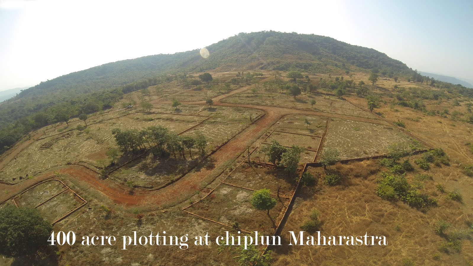
- 1)Aerial Drone Surveying and Mappings - We provide professional drone survey services using GIS drone photogrammetry for creating topography survey, Land measurement, Contour survey, Drone 3D mapping with digitization. The Drone survey outputs created by drone mapping services are compatible with CAD and GIS software. The created aerial maps are geo-reference with KML and SHP file formats.
- 2) Aerial Drone videography services- Aerial Photo India is specialist in aerial filming and creats cinematic films from bird's eye view. We use best drones for filming, Professional Drone Pilot as well as aerial post production services make Aerial Photo India stand ahed of compititon. The Aerial films are in 4K resolution
- 3) Aerial and Ground 360 Virtual Tours - We provide all kind of 360 degree virtual tours which are upto 200 Mega Pixel in resolutions and with the outputs compatible with websites, Facebook and Google. For demo click on above link 360 virtual tour.
- 4) Professional Photography services in Pune - We provide state of the art professional photography services like product photography, Event photography, Industrial Photography, Corporates Photography, wedding photography, event photography services in Pune India.


