- All
- drone 3d mapping
- drone topographic survey
- Mapping Surveying
Drone Mapping Services
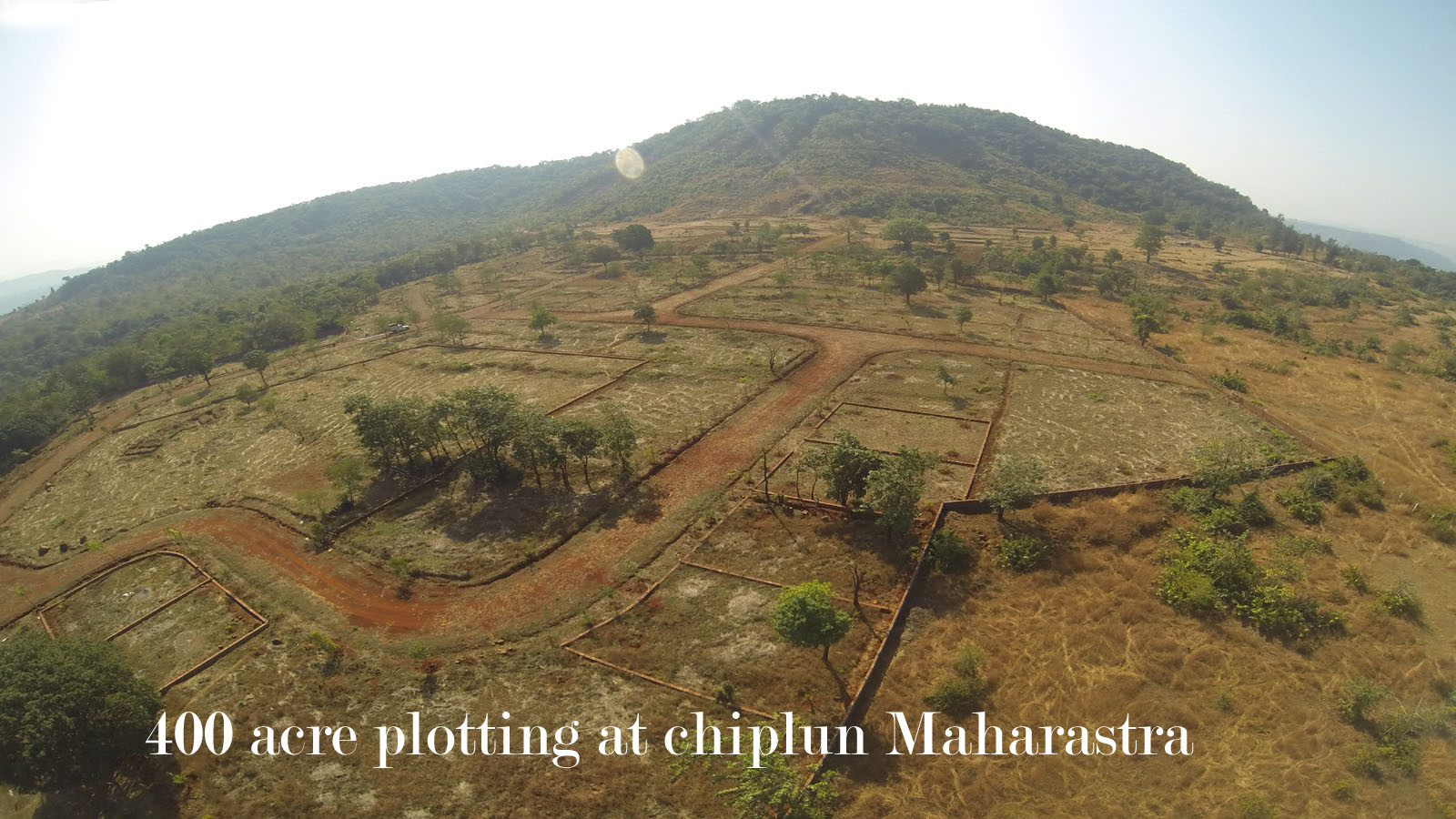
- 1)Drone Topographical Surveying and Drone Land Surveying - Our company offers Drone Topographical and Land Surveying services in Pune, India, which provide highly accurate outputs with a 1:500 scale and up to 5cm accuracy. Our drone survey services include topography, land measurement, mapping, title, contour, and corridor surveying. Our outputs are fully compatible with CAD and GIS software, and our maps and images are geo-referenced using KML and SHP file formats, facilitating easy measurement and online sharing.
- 2) Need aerial photogrammetry or drone data processing services in Pune? -We process aerial imagery using photogrammetry software to create 2D Orthomosaic, digital terrain (DTM) and digital surface models (DSM), high-resolution contours, and 3D site reconstruction. Our GIS photogrammetry outputs have 5cm accuracy, and results can be imported into AutoCAD for digitization, feature marking, and boundary drawing.
- 3) Drone Mapping and aerial photogrammetry samples for download - I have provided links for you to download examples of drone mapping and aerial photogrammetry.
Please feel free to obtain a sample drone mapping .CSV format file by clicking the download link provided here., and a 20MB sample drone mapping.KMZ format file by clicking the download link provided here. If you have any questions or concerns, please do not hesitate to reach out to us; we'll be more than happy to assist you


