- All
- drone 3d mapping
- drone topographic survey
- Mapping Surveying
Drone Mapping Services
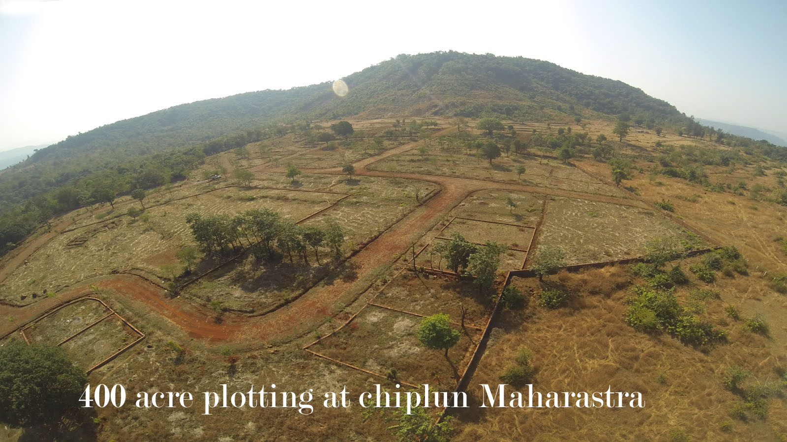
- 1)Drone Topographical Surveying and Drone Land Surveying - Our presence in Pune, India offers UAV Topographical and Land Surveying services with results that have up to 5cm accuracy. Our drone survey benefits include topography, land measurement, mapping, contour, and corridor surveying. Our outputs are fully compatible with CAD and GIS software, and our maps and images are geo-referenced using KML and SHP file formats, making it easy to measure and share online.
- 2) Need aerial photogrammetry or drone data processing services in Pune?
- 3) Drone Mapping and aerial photogrammetry samples for download - We are providing links to download samples of drone mapping and aerial photogrammetry.
You may obtain a sample drone mapping .CSV format file by clicking on the download link provided here., Additionally, a 20MB sample drone mapping.KMZ format file is available for download by clicking the download link provided here. Should you have any inquiries or apprehensions, please do not hesitate to contact us. We would be delighted to provide any assistance you may require.


