Professional drone photography and 4K aerial videography for real estate, construction, industrial and infrastructure projects. DGCA licensed. ISO certified. Pune-based since 2010.
300+ clients including Kolte-Patil Developers, Goel Ganga Developers and Shimizu Corporation.
We have been photographing Pune from above since 2010. Before drone photography was a commodity. Before every freelancer with a consumer drone called themselves an aerial photographer. We built this business the slow way — project by project, client by client, across 15 years of Pune's fastest-growing corridors.
Kolte-Patil. Goel Ganga. Shimizu Corporation. These are not names we drop lightly. They are clients who came back — because the work was right the first time, and because working with a certified, insured, DGCA-licensed operator meant their projects were never at risk.
We are a second-generation drone company. Our work speaks for itself. And you pay after it does.
If you are searching for drone photography services in Pune — for real estate, construction, industrial or event projects — this is the team that has delivered them across the city for 15 years. Aerial stills, 4K cinematic video, and survey-grade documentation, all from one DGCA-licensed, ISO-certified operator.
Each project type has different requirements. We bring 15 years of knowing exactly what each one needs.
Listings with aerial photography sell 68% faster. We shoot the project, the surroundings, the connectivity and the lifestyle — everything a buyer needs to decide before they visit.
Monthly aerial documentation of your site from groundbreaking to possession. A permanent record that resolves disputes, satisfies investors, and keeps remote stakeholders informed.
Factory documentation, plant surveys, infrastructure photography for compliance, insurance, investor communications and sustainability reporting.
Orthomosaic mapping of land parcels, agriculture forestry management surveys, contour deliverables and GIS-compatible outputs for land developers, government bodies and environmental projects.
Not every project makes it to a portfolio. These three represent what we do at our best.
Some of our proudest work never appears in a single photograph. It is the accumulation of monthly visits — the same site, the same angles, every month — building a permanent aerial record that project managers use to track progress, satisfy investors, and resolve disputes without argument. We have run these contracts across multiple sites in Pune for years.
We mapped large-scale agriculture forested areas using drone orthomosaic photogrammetry — creating accurate, GIS-compatible outputs that traditional survey methods could not produce at comparable cost or speed. This is the kind of project that most drone companies have never attempted. We have done it, and we know how.
Detailed aerial surveys of land parcels with contour map deliverables for watershed, planning and development decisions. What would have taken a ground survey team weeks was completed in days — with greater accuracy and a complete visual record alongside the technical outputs.
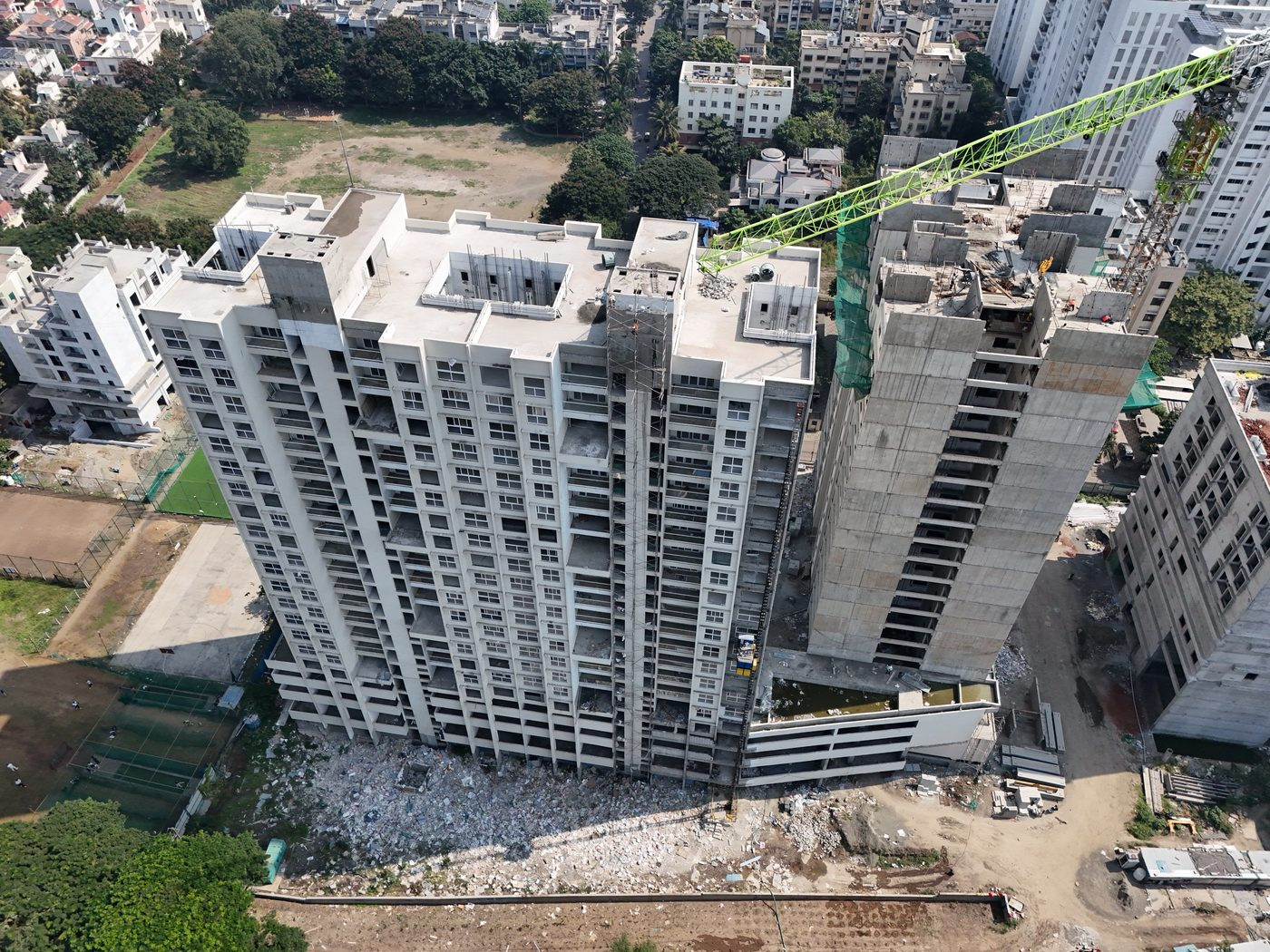
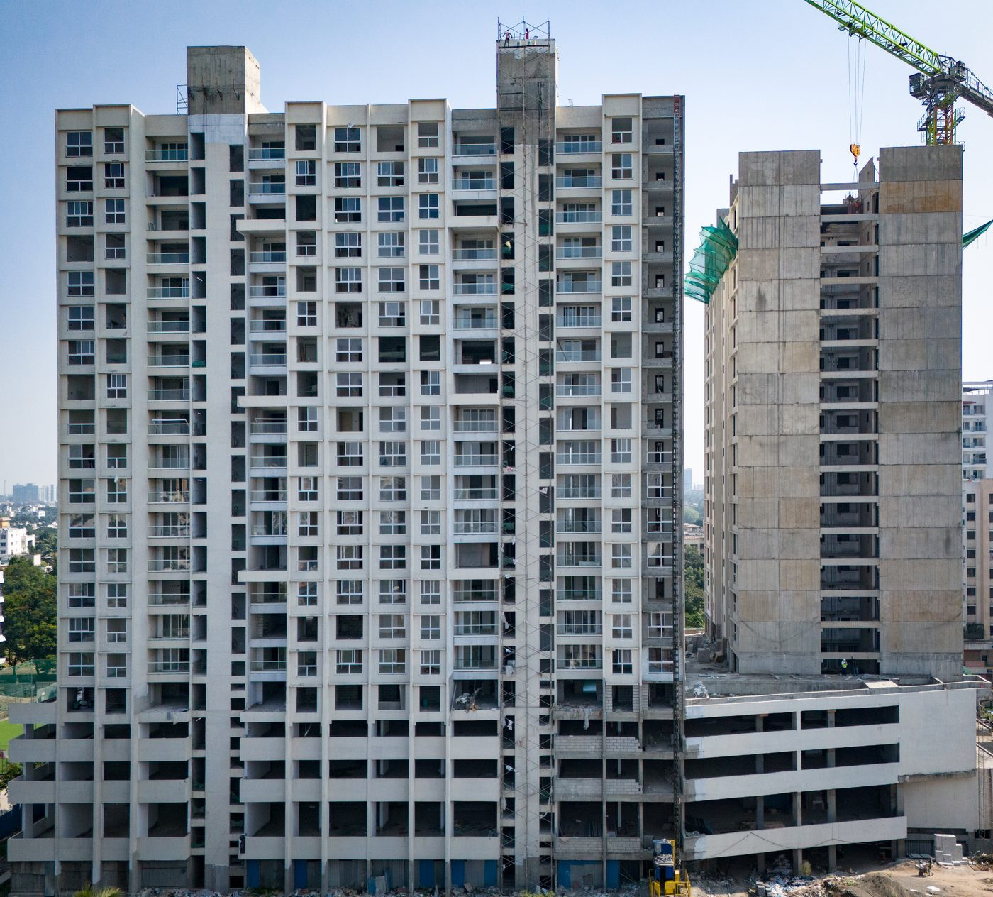
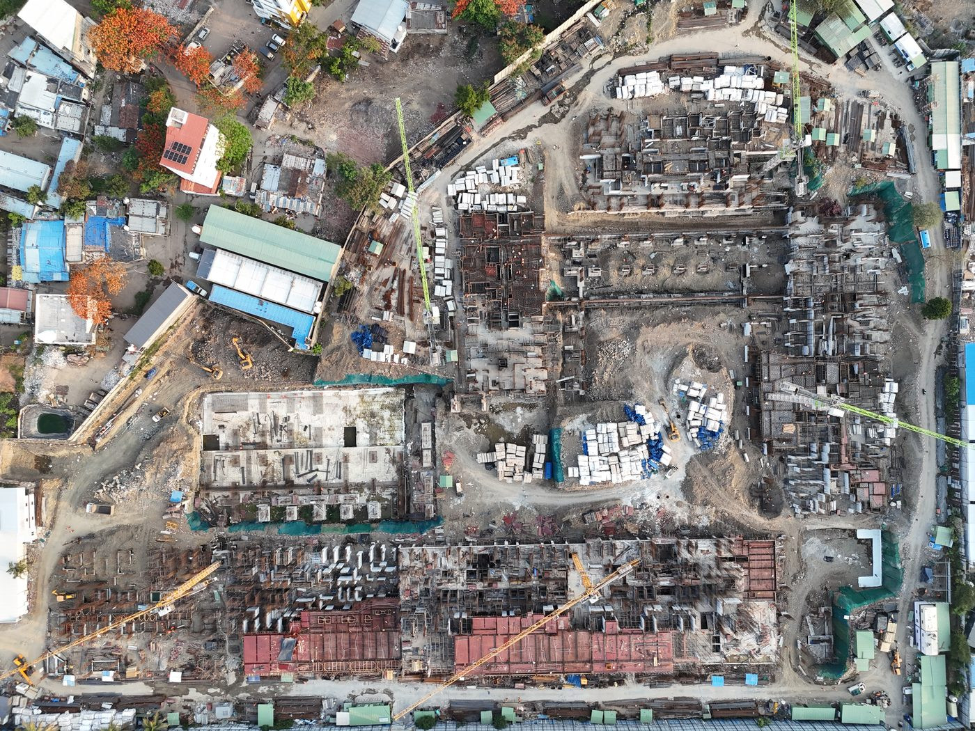
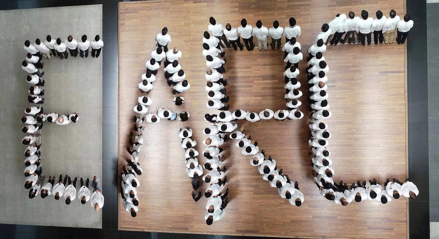
Construction monitoring — Pune projects
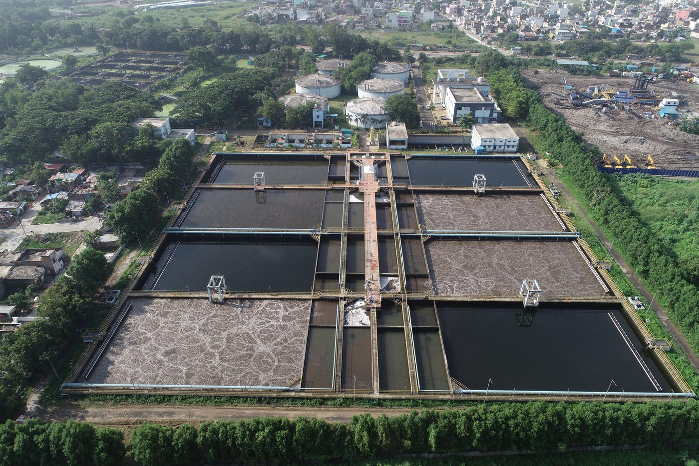
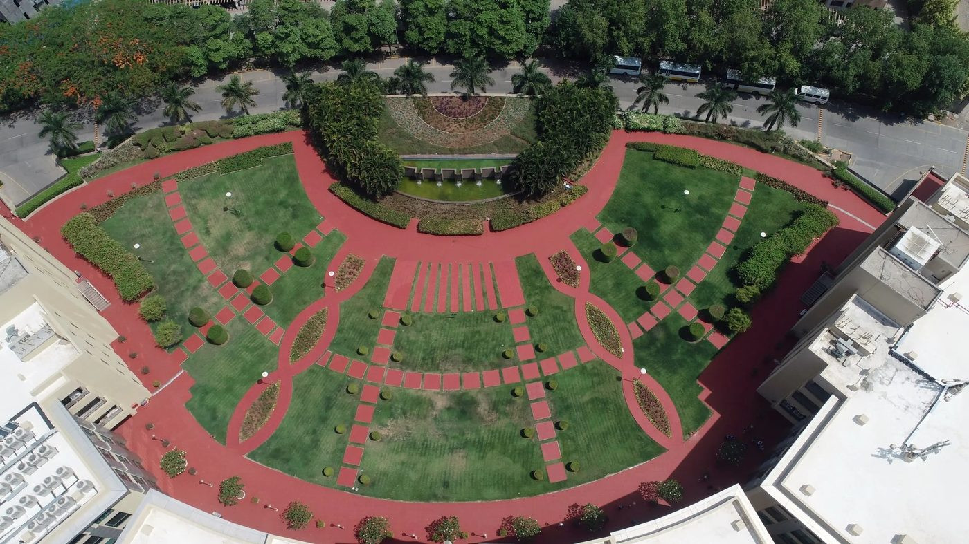
Infrastructure aerial — circular clarifiers, bird's eye view
We don't hand over raw files and leave you to figure it out. Every deliverable is production-ready.
Anyone can fly a drone. Not everyone has 15 years of knowing what to do with the footage.
We built this business before the term "drone photography" existed in India. 15 years of Pune projects, Pune locations and Pune clients — we know this city's skyline from 400 feet.
Every flight is legally compliant. Every process is audited. Your brand, your project and your organisation are protected from day one.
Based in Pune. No travel delays, no travel surcharges. We can be on site across Pune, Hinjewadi, Wakad, Kharadi, PCMC and surrounding areas the same day.
No other drone company in Pune offers this. We are confident enough in 15 years of work to back every project completely.
High-resolution stills and 4K cinematic video from a single visit. One team, one day, complete content for every channel.
We notice things other teams miss — additional angles, details, context. Our clients regularly receive more than they briefed for. That is what 15 years of looking at projects from above teaches you.
Commercial drone operations in India require a DGCA Remote Pilot Licence. Operating without one carries fines of up to ₹5 lakh — and the liability falls on the project owner who hired the operator, not just the operator. Every AerialPhotoIndia shoot is conducted by DGCA-licensed pilots under an ISO-certified process . We obtain all airspace permissions. You carry zero risk.
As Pune's longest-established drone photography company , we have the certifications, the track record, and the process to protect your project from day one.
Same-day mobilisation in Pune and PCMC. Maharashtra-wide for construction and industrial projects. Pan-India for large-scale surveys.
See our work
Drone photography reel — real projects across Pune and Maharashtra | AerialPhotoIndia
Indicative ranges to help you budget. Every project is quoted individually — final pricing depends on location, scope, flight permissions and deliverables. We send an itemised quote within 24 hours, and you pay only after you are satisfied. All prices below exclude GST.
Want a precise quote?
Construction-monitoring contracts, industrial surveys and multi-location projects are priced individually. Tell us your project type and location for an itemised quote within 24 hours — no hidden costs.
💬 WhatsApp for a quoteEverything you need to know before commissioning drone photography.
A brief description of what you need — location, project type, and timeline. We will respond within 24 hours with a quote.